São Miguel Island aerial view
Model details
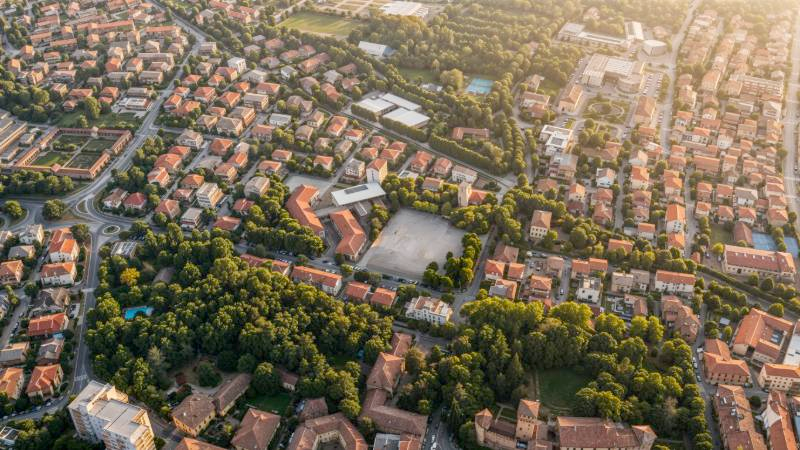
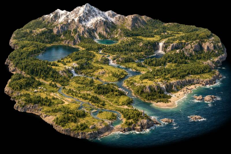
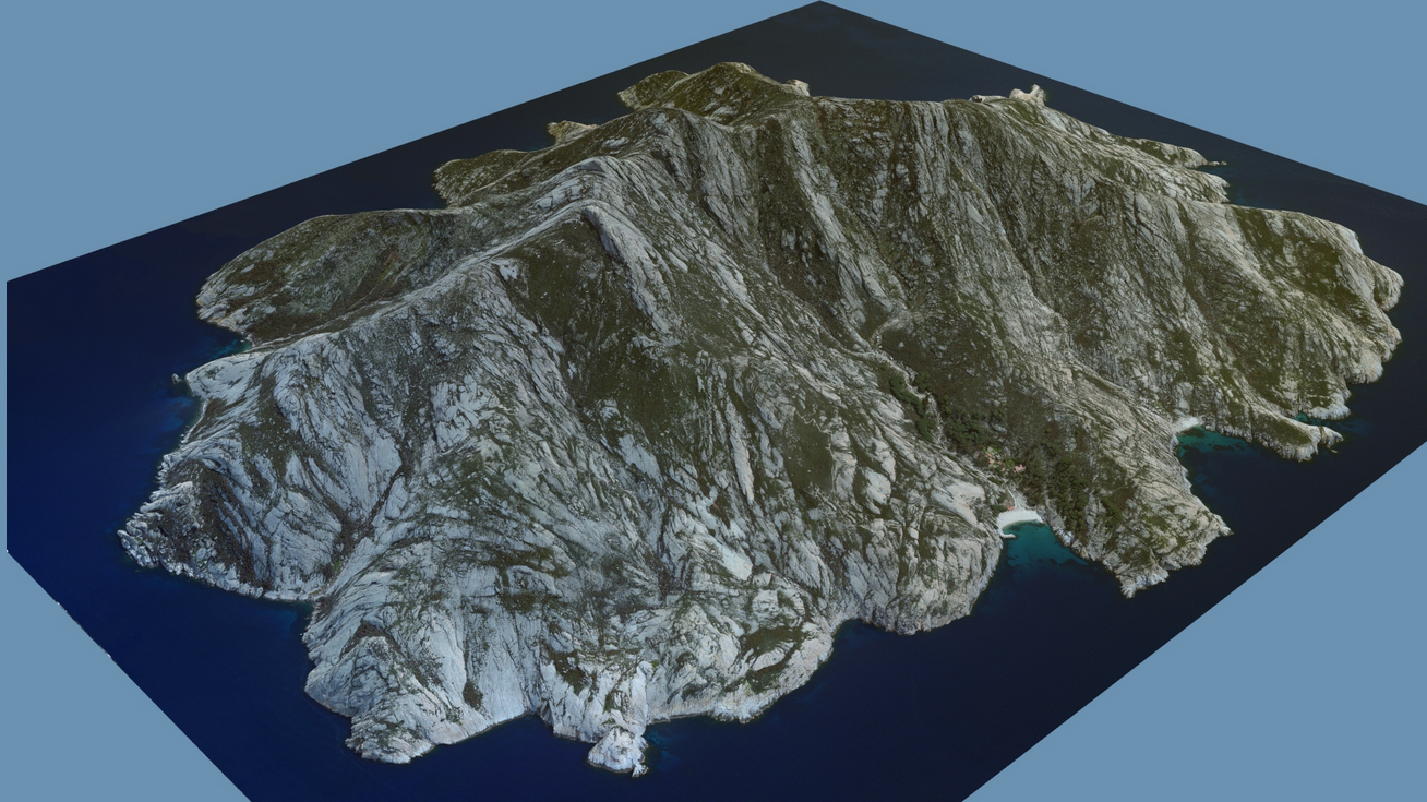
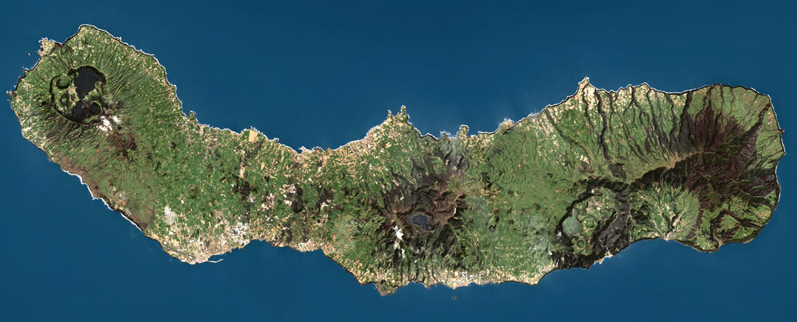
This is an aerial photograph of São Miguel Island, part of the Azores archipelago. The image showcases the island's elongated shape, dramatic volcanic topography including craters and mountains, and diverse vegetation. Lakes are visible within some of the volcanic calderas, and settlements are scattered along the coastline and in valleys. The photograph provides a good overview of the island's geography and land cover. However, as a top-down aerial view, it lacks information about the island's sides and underwater features, which would be necessary for a complete 3D reconstruction.
Use a similarly clear source photo to get a similar result. Generate yours →
São Miguel Island aerial view
Model details
This is an aerial photograph of São Miguel Island, part of the Azores archipelago. The image showcases the island's elongated shape, dramatic volcanic topography including craters and mountains, and diverse vegetation. Lakes are visible within some of the volcanic calderas, and settlements are scattered along the coastline and in valleys. The photograph provides a good overview of the island's geography and land cover. However, as a top-down aerial view, it lacks information about the island's sides and underwater features, which would be necessary for a complete 3D reconstruction.
Use a similarly clear source photo to get a similar result. Generate yours →