Map
Model details
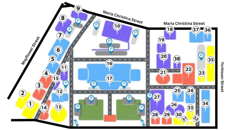
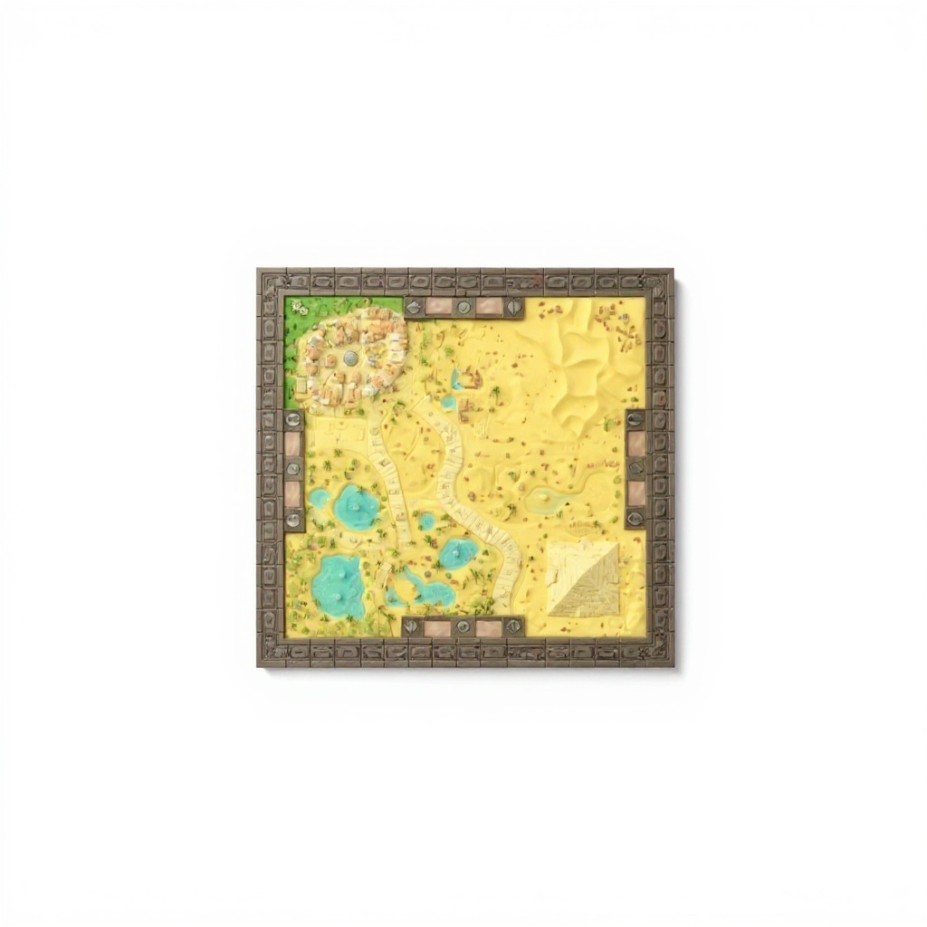
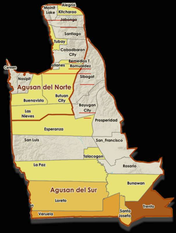
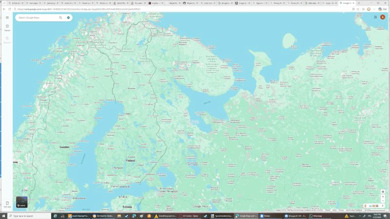
The map displays good lighting quality with even illumination across land and water, clear directional indicators, and sharp details of coastlines and inland features. The map is positioned and angled to show north and south prominently, with landmasses clearly defined and labeled. Overall, all key geographical features are visible without obstruction.
Use a similarly clear source photo to get a similar result. Generate yours →
Map
Model details
The map displays good lighting quality with even illumination across land and water, clear directional indicators, and sharp details of coastlines and inland features. The map is positioned and angled to show north and south prominently, with landmasses clearly defined and labeled. Overall, all key geographical features are visible without obstruction.
Use a similarly clear source photo to get a similar result. Generate yours →