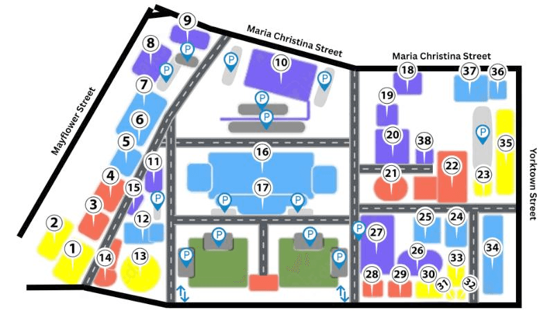
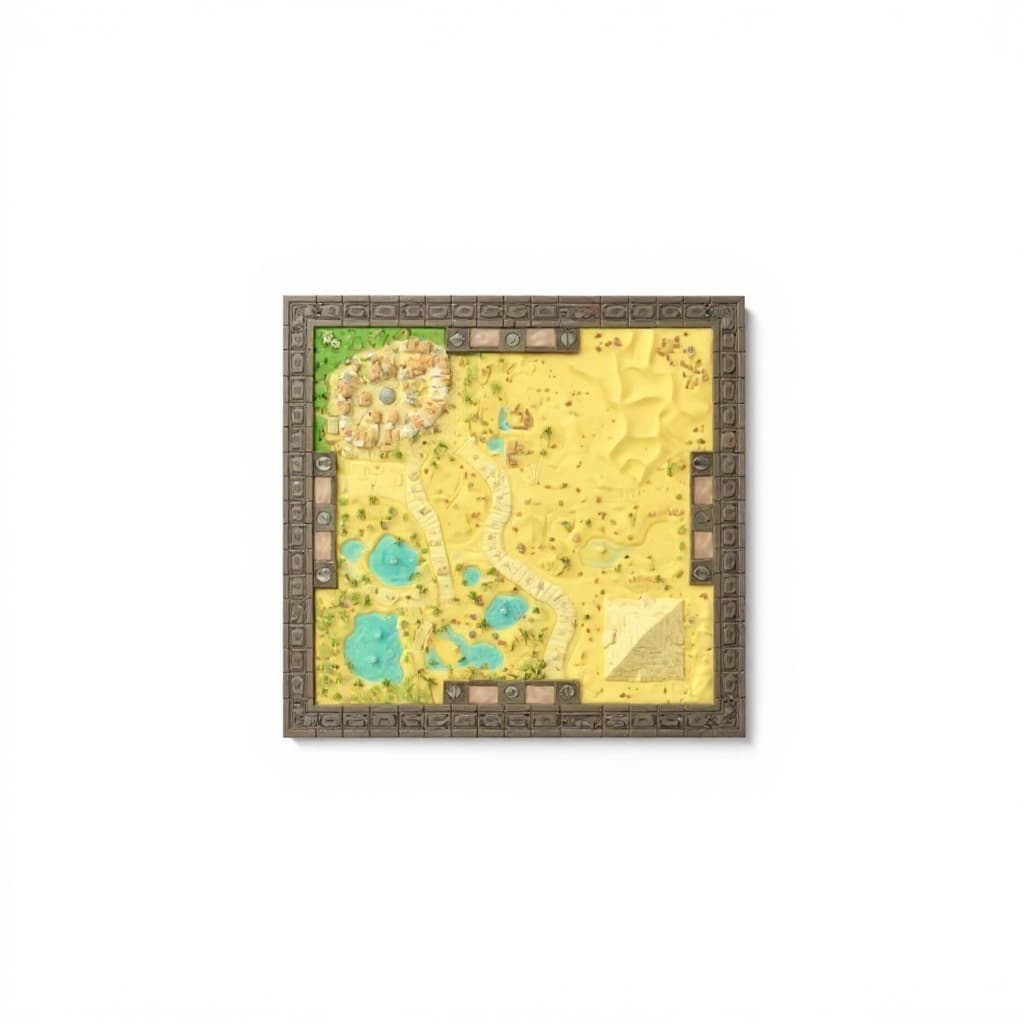
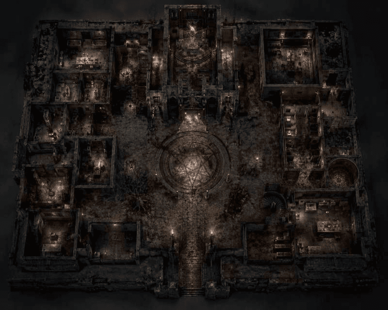
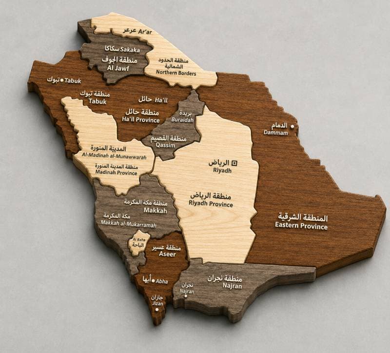
Loading 3D Viewer…
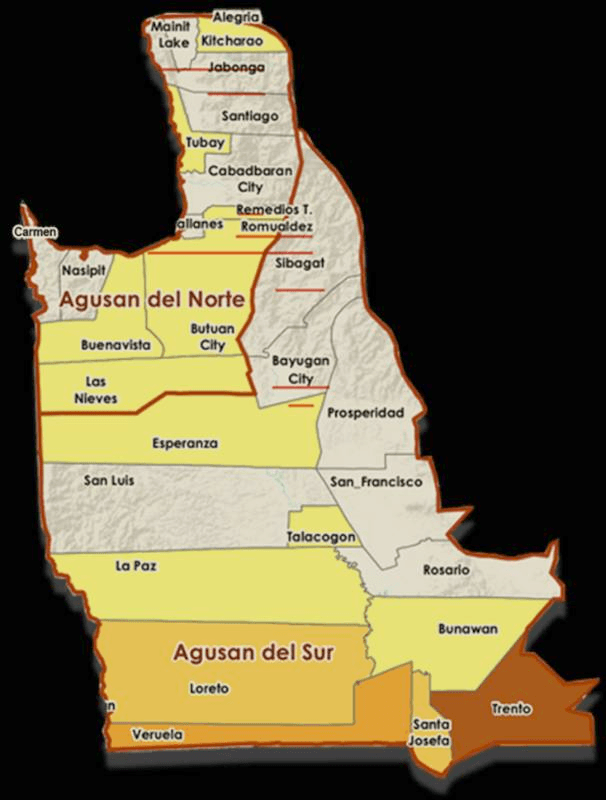
Map of northern
Photo technique
The lighting quality is excellent, capturing subtle shadows and highlights that enhance the 3D model’s depth. The map of northern is positioned and angled to clearly show the varied terrain and boundaries of the region. The image is sharp and detailed, allowing all important features to be easily identified.
Replicate these qualities in your own photo to get a similar result. Generate yours →